Sea Level Rise Will Impact 650,000 US Properties by 2050

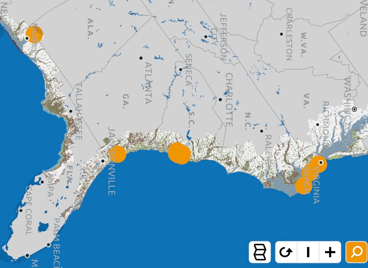
A study released today by Climate Central, a climate change research group, concluded that 650,000 US coastal properties will be impacted by sea level rise flooding by 2050. To reach this conclusion, researchers analyzed state and county level tax reports in areas currently experiencing or at-risk of sea level rise flooding.

Among the key findings:

  1. More than 648,000 properties on 4.4 million acres are at risk of experiencing at least some measure of flooding.
  2. Over 48,000 properties may be entirely flooded.
  3. The low elevation states of Florida, Louisiana and Texas have the most at-risk properties.
  4. By 2100, over $100 billion worth of property will be at risk from rising seas.

The loss of properties threatens to create other problems for coastal communities and whole states. Properties that flood may become uninhabitable or lose value, which can harm the tax base that pays for schools, emergency services, critical infrastructure and numerous other services. Individual property owners, too, could also see their valuable real estate assets lose value, which can impact their wealth and retirement income.

To combat sea level rise flooding, governments in coastal communities are investing billions of dollars in property buyouts, pumping stations, the elevation of roads and other critical infrastructure, and the creation and improvement of sea walls and other flood-control barriers. In most cases, property owners are paying higher taxes to fund the projects. The loss of property value and tax revenues due to sea level rise flooding could create a spiral that makes funding these projects increasingly expensive, which will leave even more properties vulnerable to flooding.

Among the solutions Climate Central researchers recommend governments implement are encouraging development outside the sea level rise flooding risk zones, educating property owners about the risks rising seas pose to them, and, of course, reducing the burning of fossil fuels that are behind global warming and sea level rise.

Powerful New Tool Gives Real Estate Owners, Developers, Planners & Government Officials a Detailed View of the Threats Posed by Sea Level Rise

One of the greatest challenges for coastal real estate owners, developers, planners and government officials is acquiring a detailed understanding of the complicated challenges sea level rise flooding poses to their communities.

A new tool introduced today by the Southern Environmental Law Center (SELC), a non-profit and non-partisan organization dedicated to defending the environment, aims to deliver a clear view of the threats sea level rise poses to coastal communities in the Southeast through the use of an interactive mapping tool. “The project’s goal is to show citizens and decision-makers how the coast is changing,” the SELC said in a news release, “and how proposed infrastructure projects like highways, neighborhoods, and government or industrial facilities will fare as the water keeps rising and floods get worse.”

Visitors to The Changing Coast website will find an interactive map with overlays that enable them to visualize: 1. The flooding that will occur in their community as sea level rises; 2. Development projects that will be impacted by higher seas; 3. The locations of toxic Superfund sites that could contaminate neighborhoods and water supplies if they’re flooded by ocean water; 4. The locations of socially vulnerable populations who are most at-risk from sea level rise flooding and storm surges; 5. Wetland areas and floodplains that need to be protected from development to act as sea level rise floodwater buffer zones; and 6. Areas that are most at-risk from more powerful storm surges resulting global-warming-fueled stronger hurricanes and tropical storms.

Among the real-world examples of areas where the interactive mapping tool could assist real estate owners, government officials, planners and developers in coastal communities, the SELC offered the following:

  • “A proposed 9,000-acre housing development in Charleston could flood now with just a Category 1 hurricane. And rising seas could put parts of the development under water before the mortgages are paid off.”
  • “The roads leading to the proposed Mid-Currituck Bridge in North Carolina could be flooded on sunny days in the future if sea level climbs just two feet, rendering the span useless.”
  • “A 21-million-ton pile of toxic coal ash on the banks of the Mobile River in Alabama could likewise be threatened by a Category 2 hurricane, and that threat only increases as sea levels continue to rise. A breach could spread toxic ash into the river, through the Tensaw Delta, and into Mobile Bay.”

“The goal is to help guide decisions for the future, and to plan smart strategies to protect what exists now,” said Chris DeScherer, and SELC senior attorney.

The SELC’s interactive map is a valuable source of information that real estate owners, buyers and agents in the Southeast should use when considering property in coastal communities currently experiencing sea level rise flooding or at-risk of experiencing it in the near future. It would be wonderful if this powerful tool became available in other parts of the country.

Video: King Tide Season: The Sea Level Rise Stress-Test

King tide season returned to coastal communities this week, and with it came the king tide/sea level rise flooding that periodically inundates roads, real estate and whole neighborhoods. This video, produced for SeaLevelRiseRealEstate.com, features a discussion of the many ways the king tide months — roughly from September-January — provide the perfect stress-test to give real estate buyers, sellers, owners and agents a sense of how well their communities are battling against sea level rise flooding. It also gives them a read on the level of risk sea level rise flooding poses to their property of interest.

As ice sheets in Greenland and Antarctica continue to melt and the ocean heats and expands due to global warming, sea levels are gradually rising. Add the many inches of sea level rise accumulated over the last hundred years or so to the ancient king tides — higher than normal tides due to the unique alignment of the sun and moon in the fall — and you have a recipe for disaster.

Coastal communities all over the world face a greater threat of flooding during this period In the U.S. this can lead to an enormous amount of property damage as well as damage to roads, water pipes, sewer pipes and other critical infrastructure. The end result is that property owners in affected areas can face higher carrying costs, including expensive repairs, insurance premiums, and taxes as communities implement plans to stave off the flood waters.

During the king tide period, buyers, sellers, owners and real estate agents need to take the time to see what’s actually happening in their communities, find out how much worse it could get, study what their local government intends to do to mitigate the flooding, and reach a dry-eyed understanding of how this will impact their carrying costs and property value. This information will help them to make informed decisions regarding real estate transaction.

%d bloggers like this: