
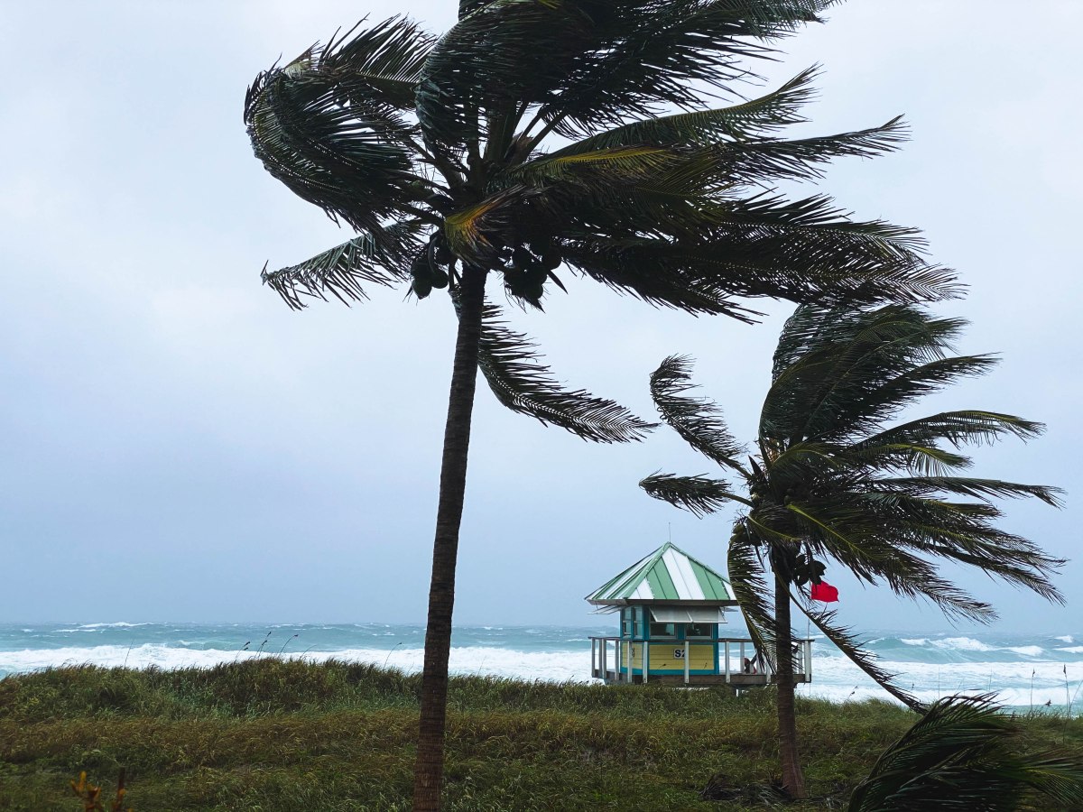
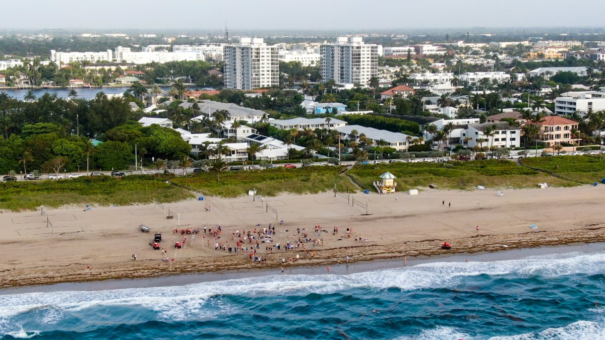
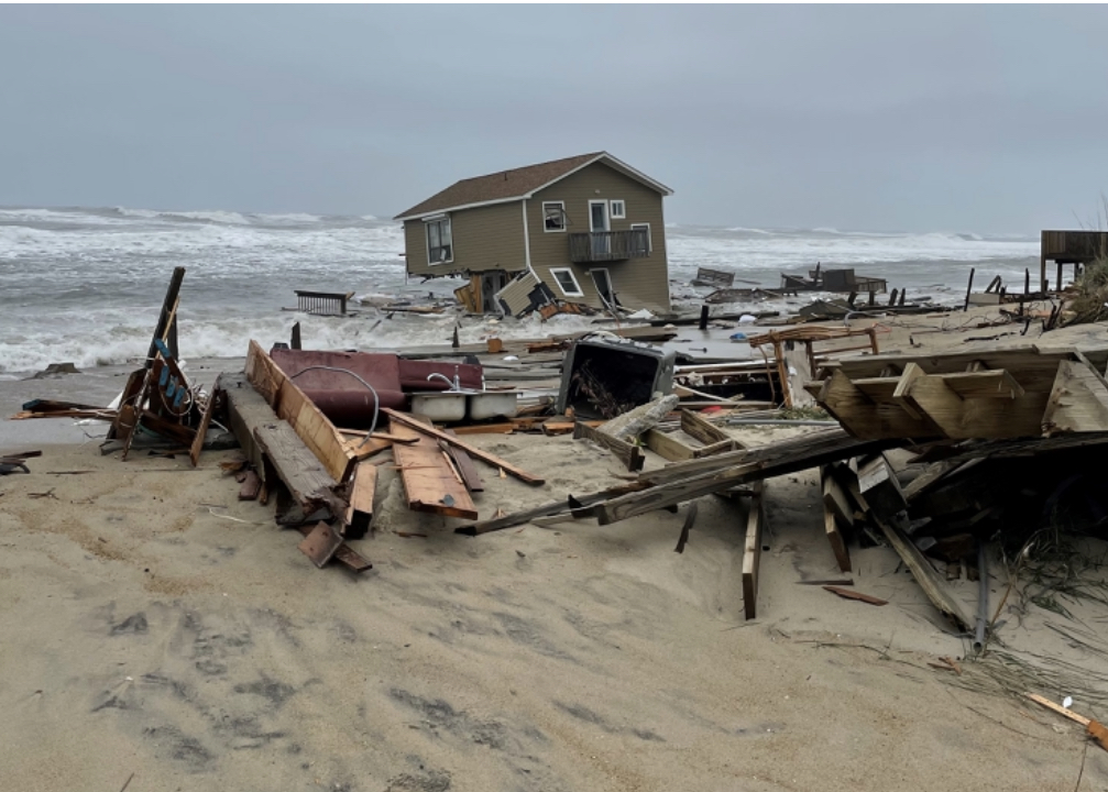
After Hurricane Sandy slammed New York City ten years ago, the city began taking climate change and sea level rise seriously. The superstorm flooded low lying areas, inundated the subway system and road tunnels, and caused an estimated $19 billion in economic losses. The remnants of Hurricane Ida, which similarly flooded large swaths of New York, New Jersey, Connecticut and Pennsylvania last year, was a powerful reminder that more needs to be done.
To prevent loss of life and property, New York City has been busy producing a series of interactive flooding maps that tell real estate owners and renters whether or not they are in areas at high risk of flooding. Just last week, the city released interactive maps designed to inform residents of their flood risk under different scenarios. According to the city, the New York City Stormwater Flood Maps “show moderate stormwater flooding scenarios under current and future sea level rise conditions, as well as an extreme stormwater flooding scenario under future conditions.”
In addition to the maps, the city has a “Rainfall Ready NYC Action Plan” webpage that gives people the information they need to stay safe while infrastructure is built or upgraded to better cope with sea level rise flooding, more intense rainstorms, and more powerful tropical storms and hurricanes that are the results of climate change. The Action Plan includes information on how to prepare for storms, how monitor storm conditions, how to respond to storms, and how to recover from them.
The maps the city is producing are of great value to real estate owners and prospective buyers in the affected areas. Current owners can use them to not only to prepare their properties to withstand sea level rise and storms, but also to determine if the investment is worth it. Prospective buyers can use the maps to decide if they really want to get involved in real estate in an area that’s currently experiencing flooding or at risk of flooding in the future. This is critical information since properties that flood can lose value or appreciate at a slower rate than comparable properties in safe areas.
New York City’s proactive efforts to warn residents of the risks of flooding caused by climate change driven sea level rise and supercharged storms is admirable and should be replicated by cities and towns all along the US coastline. Used properly, they can help real estate owners and prospective buyers to make informed decisions that protect their financial futures.


You must be logged in to post a comment.