Flooding is the most frequent and costly natural disaster in the U.S. Unfortunately, it’s also among the hardest to detect for real estate buyers. That’s due to the fact that between bouts of flooding — including sea level rise flooding — properties, roads and neighborhoods can appear high and dry.
The sea level rise real estate quiz video is meant to show buyers how hard it is to tell where flooding has occurred. The videos clips with dry properties were recorded during the dry season in South Florida. The clips with flooding taken at the same locations were recorded during fall king tide season, when the Earth, Sun, and Moon were in a certain proximity that promotes higher than normal tides.
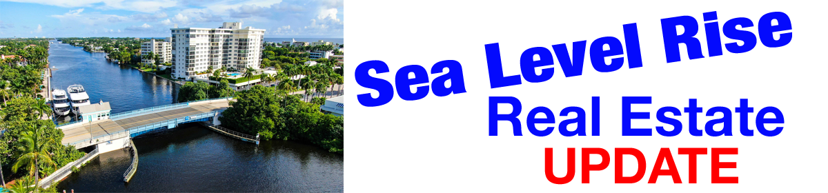
A small but growing percentage of properties located right along the beach and Intracoastal Waterway flood several times a month from August through December. This type of sea level rise flooding is occurring in many communities along the Atlantic, Gulf, and Pacific coastlines. The situation is getting worse every year as the ocean continues to rise.
Clearly, buyers purchasing coastal properties need to ask sellers, real estate agents, neighbors, public officials, and flood insurance providers if the property of interest experiences sea level rise flooding. The laws governing the disclosure of flooding vary widely from state to state, so buyers need to consult multiple sources to get a complete picture before submitting a real estate contract.
